Design · Verify · Deploy
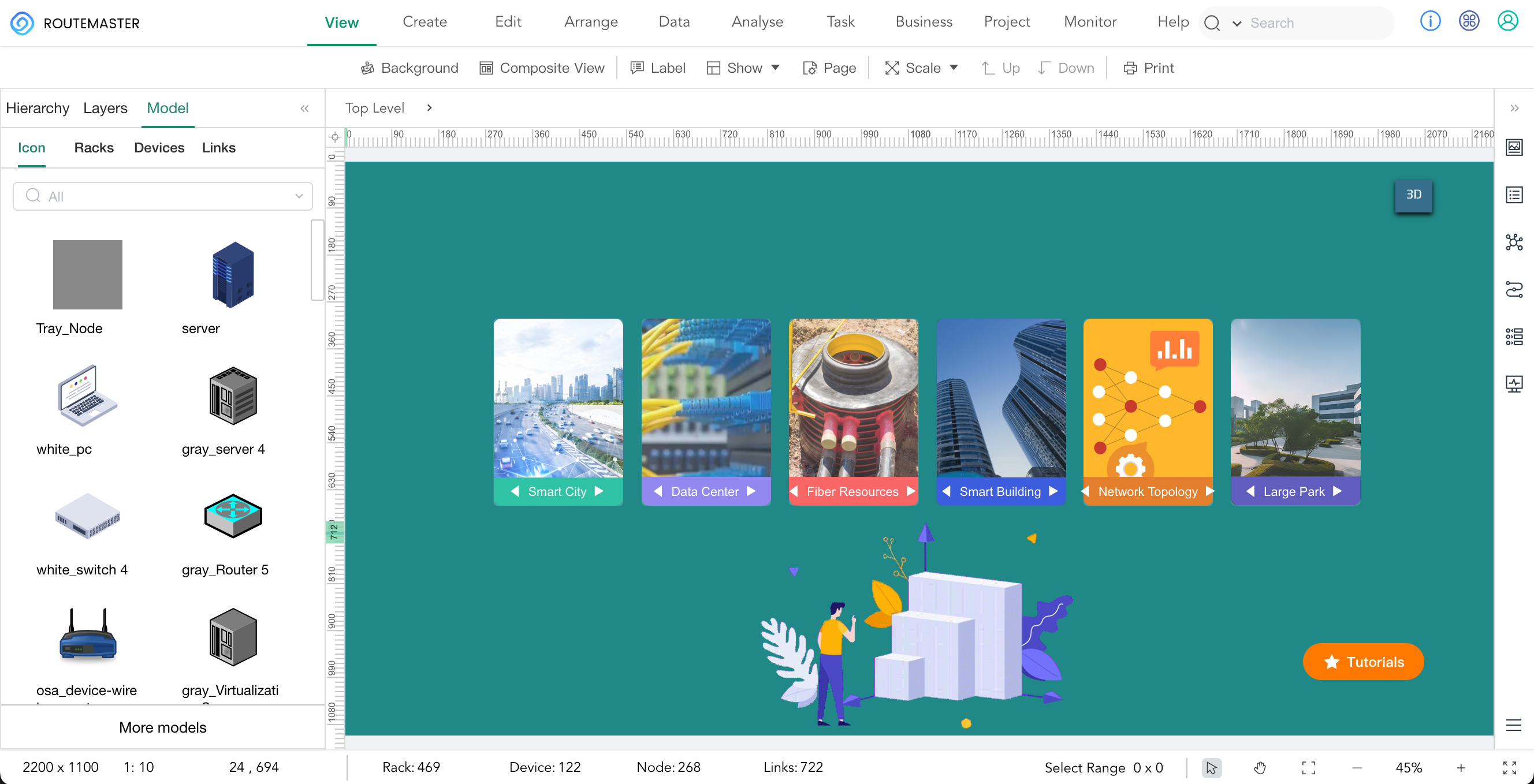
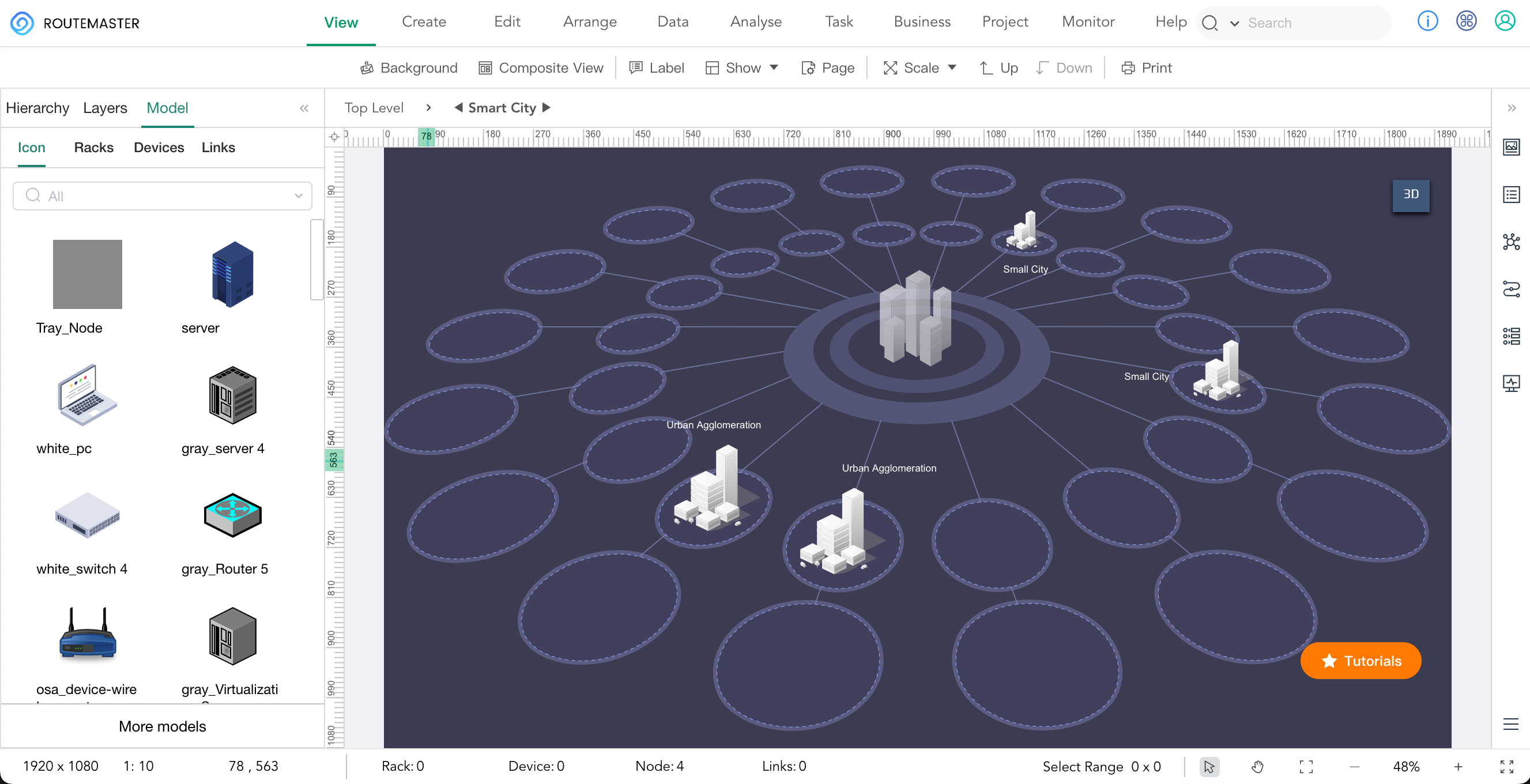
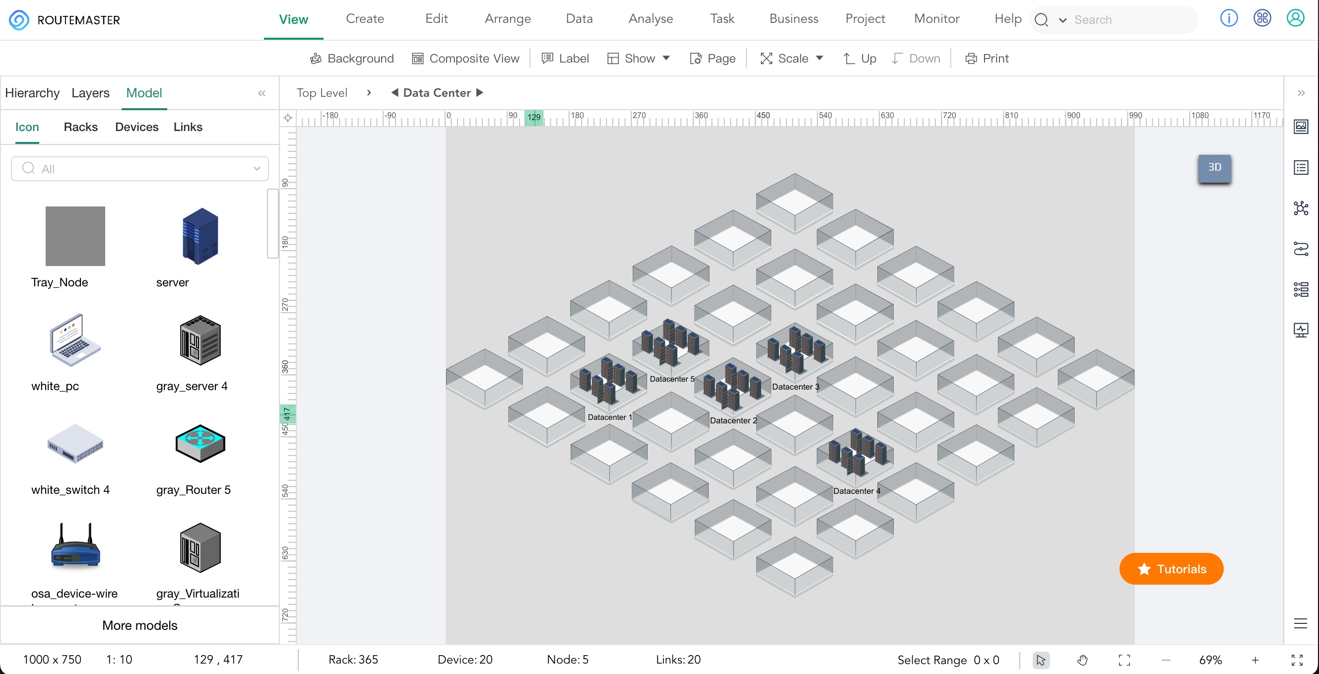
From FTTH
To Data Center
Design
One partner for your entire infrastructure lifecycle.

Scroll
5,000+
Organizations Served
6
China IDC Hub Cities
50%
Design Time Reduction
24/7
Smart Hands Support
Integration Hub
Programmable
Infrastructure
ROUTEMASTER is not just visual — it's a programmable foundation. Leverage our REST API to bridge your digital twin with monitoring, TMS, and automation platforms.
-
REST API & Web Services
Connect directly with third-party DCIM, monitoring, and ticketing systems via standard endpoints.
-
RabbitMQ Integration
Real-time synchronized communication across critical systems using advanced message queuing.
-
Automated Workflows
Programmatically generate BoMs, enforce naming conventions, and auto-tag cabling via API logic.
// ROUTEMASTER REST API
GET /api/v2/datacenter/racks
POST /api/v2/cables/auto-route
GET /api/v2/osp/fiber-trace
// Response
{
"status": "200 OK",
"rack_id": "DC1-R04-A",
"available_u": 18,
"cables": 142,
"bom_ready": true
}
GET /api/v2/datacenter/racks
POST /api/v2/cables/auto-route
GET /api/v2/osp/fiber-trace
// Response
{
"status": "200 OK",
"rack_id": "DC1-R04-A",
"available_u": 18,
"cables": 142,
"bom_ready": true
}
Trusted by leading organizations worldwide